Juan de la Cosa's World Chart
A Virtual Tour
This is a story is a story about Juan de la Cosa's 1500 World Chart, which was one of the first European world maps to show North and South America across the Atlantic Ocean. As you scroll, the story will progress on the left side of your screen. On the right side, you'll see images that correspond with the story. Pay attention to the outlines that appear on the map. When you need more time to read or look at something, simply stop scrolling. Sometimes you'll be invited to click on a hyperlink, which will open a new window on your computer. We hope you'll enjoy our scrollytelling about Juan de la Cosa's world map!
Juan de la Cosa was a Spanish pilot and navigator who sailed to the Americas seven times, including on the first three of Christopher Columbus's famous voyages.
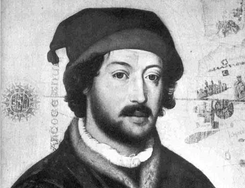
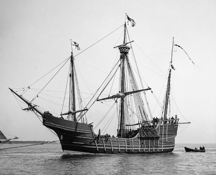
In fact, de la Cosa was the owner of the Santa Maria, one of the three ships that sailed with Columbus in 1492.
De la Cosa most likely created his world map in 1500 for the Spanish crown, to highlight their newly
discovered territories in the western hemisphere. This context is important, as is what de la Cosa
knew, and what he didn't know. Like all maps, this map tells a story.
Before we continue, take some time to study the map. What do you notice? What looks familiar and
accurate? What looks unfamiliar or inaccurate? What do you wonder?
When you're ready, keep scrolling to learn more.
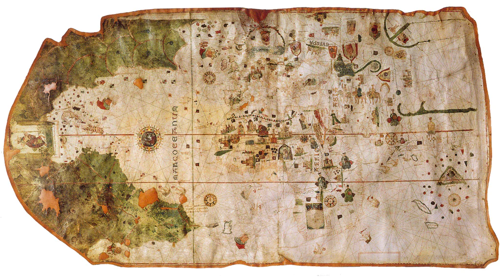
The first thing to know about De la Cosa's map, is that he actually drew it with west facing upward, as is shown by the compass rose he drew in the middle of the map
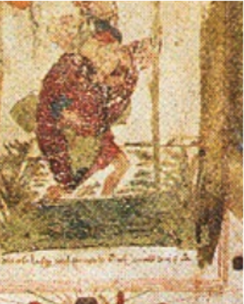
One way we know that this is the orientation he intended is by the image of the person at the top of the map.
If you look closely, you can see it's a drawing of St. Christopher carrying the infant Jesus across a river. This was clearly an homage to Christopher Columbus, as well as a reference to the religious motivations behind the Spanish Crown's sponsorship of westward exploration.