Ptolemy`s World Map
A Virtual Tour
This is a story about Claudius Ptolemy and his world map, which played a significant role in both U.S. and World history. As you scroll, the story will progress on the left side of your screen. On the right side, you`ll see images that correspond with the story. Pay attention to the outlines that appear on the map. When you need more time to read or look at something, simply stop scrolling. Sometimes you`ll be invited to click on a hyperlink, which will open a new window on your computer. We hope you`ll enjoy our scrollytelling about Ptolemy`s world map!
Claudius Ptolemy, who lived from approximately 100 CE to 170 CE, was a mathematician, astrologer, astronomer, and geographer.
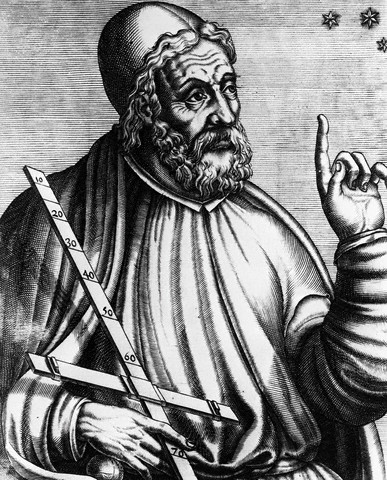
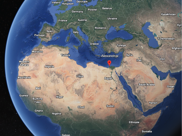
He was of Greek descent but lived in Alexandria, Egypt.
To explore Alexandria, Egypt and Greece on Google Earth,
click here
.
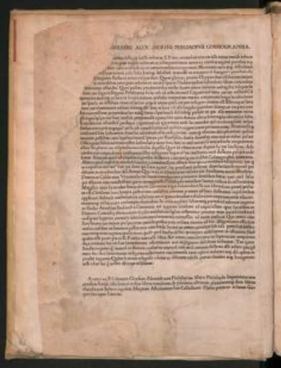
Around 150 CE, Ptolemy synthesized the extensive geographic knowledge of the Greek and Roman empires in the work known as Geography. Geography evaluated previous measurements of the earth, suggested methods for projecting a spherical earth onto a plane, provided a topographical account of the latitude and longitude of more than 8,000 locations throughout Europe, Asia, and Africa, explained the role of astronomy in geography, and provided a mathematical guide for making maps of the Earth and its regions.
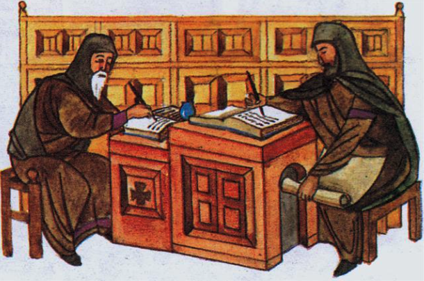
After its creation, Geography disappeared for thousands of years, only to reappear as copies in 13th century Byzantium, along with maps created by Byzantine scribes using the information provided by Ptolemy.
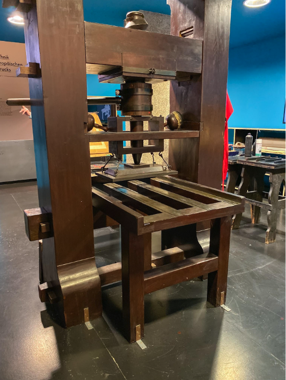
The information in Geography would have a profound impact on mapmaking, and in the latter part of the 15th century, Ptolemaic maps spread across Europe, thanks in part to the newly invented printing press.
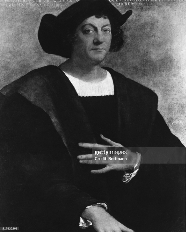
However, Geography-and the maps that it influenced-contained significant inaccuracies, attributable in part to Ptolemy's miscalculation of the size of the Earth, which he believed was smaller than it is. This, too, would have a profound impact, famously leading Christopher to believe that he could sail around the world in a shorter time than was actually the case.
The map highlighted in this story was created in the 15th century from the information Ptolemy
provided. Like all maps, it tells its own story-what people knew and did not know about the world at
the time the map was made.
Before we continue take some time to study the map. What do you
notice?
What looks familiar and accurate? What looks unfamiliar or inaccurate? What do you wonder?
When you're ready, keep scrolling to learn more.
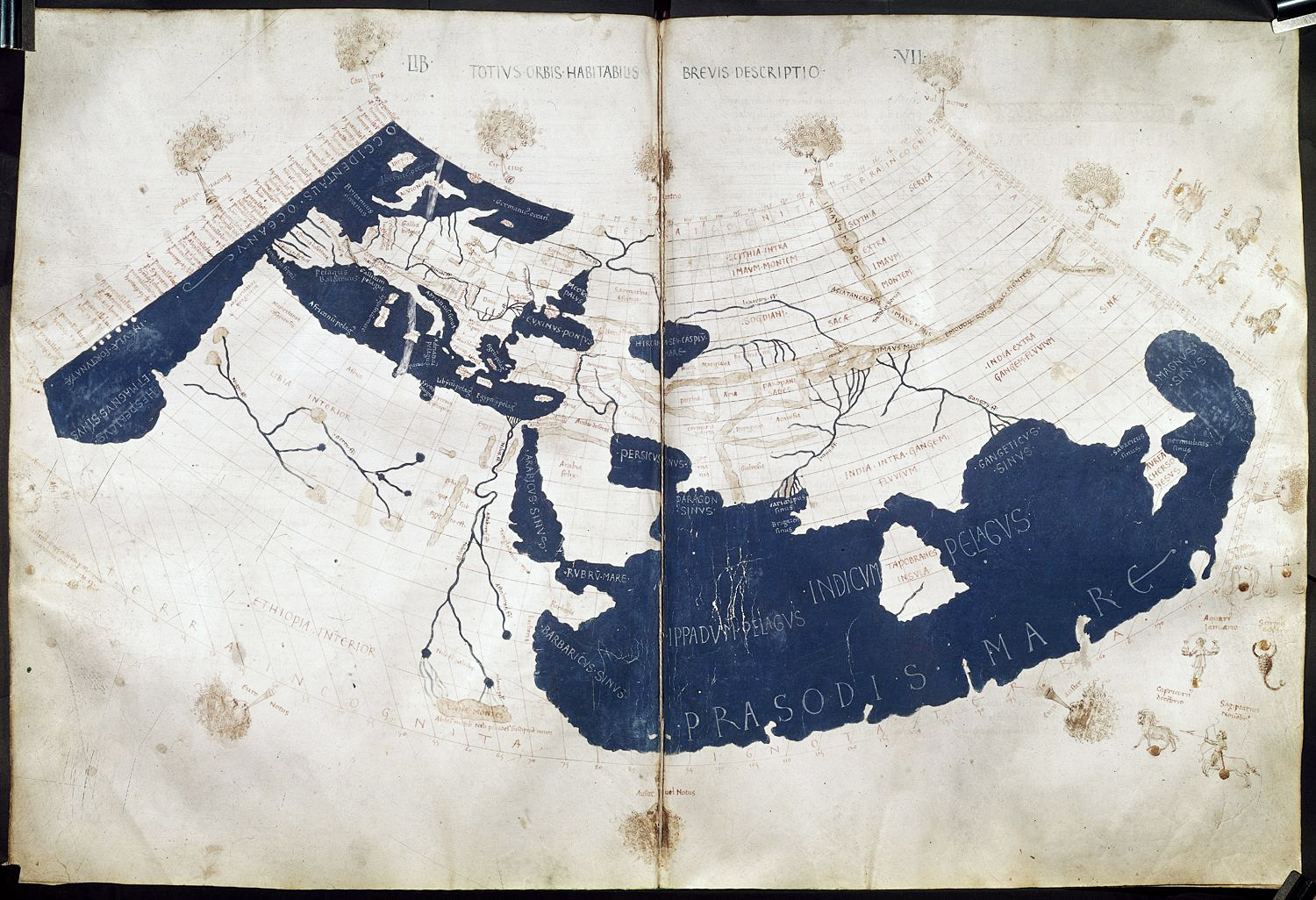
Ptolemy knew a lot about the Mediterranean region. For the Greeks, the Mediterranean was the center of the inhabited world. Therefore, the region is represented fairly accurately on the map.
Zooming in to take a closer look, you can see the “boot” of Italy
the islands of Sicily, Sardinia, and Corsica;
and the North African coast, including Ptolemy's home of Alexandria.
To explore what the region looks like in Google Earth, click here.
Ptolemy knew less about North Africa, south of the Mediterranean Sea.
Taking a closer look at this portion of the map, you can see Ptolemy's version of the Nile River running north and south,
but you can also see that Ptolemy believed North Africa was connected by lakes and rivers running westward from the Faiyum Oasis, which is just west of the Nile River.
Then, if you look carefully toward the bottom of the image, you can see the words “Terra Incognita” running across the map. This means “unknown land.” Ptolemy believed the inhabited world ended at a parallel running through Egypt and Libya, 16 degrees south of the Equator.
To see an image of North Africa centered on the Faiyum Oasis, click here.
Ptolemy and his contemporaries had little knowledge of the world east of the Roman Empire. Therefore, the further east you look on the map, the more speculative Ptolemy's geography becomes.
Zooming in, you can see a mysterious island labeled “Taprobana,” which is located near modern-day Sri Lanka and was said to be 20 sailing days south of India, depicted with a nearly flat coast. This island could have been based on knowledge of islands anywhere from eastern Africa to Indonesia.
The peninsula to the east is labeled as “the Golden Chersonesus,” and might be the Malay Peninsula.
Also depicted on this part of the map are various zodiac signs, such as Sagittarius the archer. Ptolemy was an astrologer, and in this map, various astrological observations are mapped onto the Earth.
To explore a Google Earth image centered on the Bay of Bengal between India and the Malay Peninsula, click here.
Despite its inaccuracies Ptolemy's Geography, and the maps it inspired, changed the world forever. As you encounter other maps in your study of the past, think about the stories they tell about the worldviews and knowledge of their creators, and how some maps might have shaped history itself.
Brotton, J. (2014). Great maps: The world's masterpieces explored and explained. Penguin. Buckinck, A. E., Ptolemy, 2. C. A. & Sweynheim, K. (1478) Geography. Rome: Arnold Buckinck. [Map] Retrieved from the Library of Congress, https://www.loc.gov/item/2021668470/.